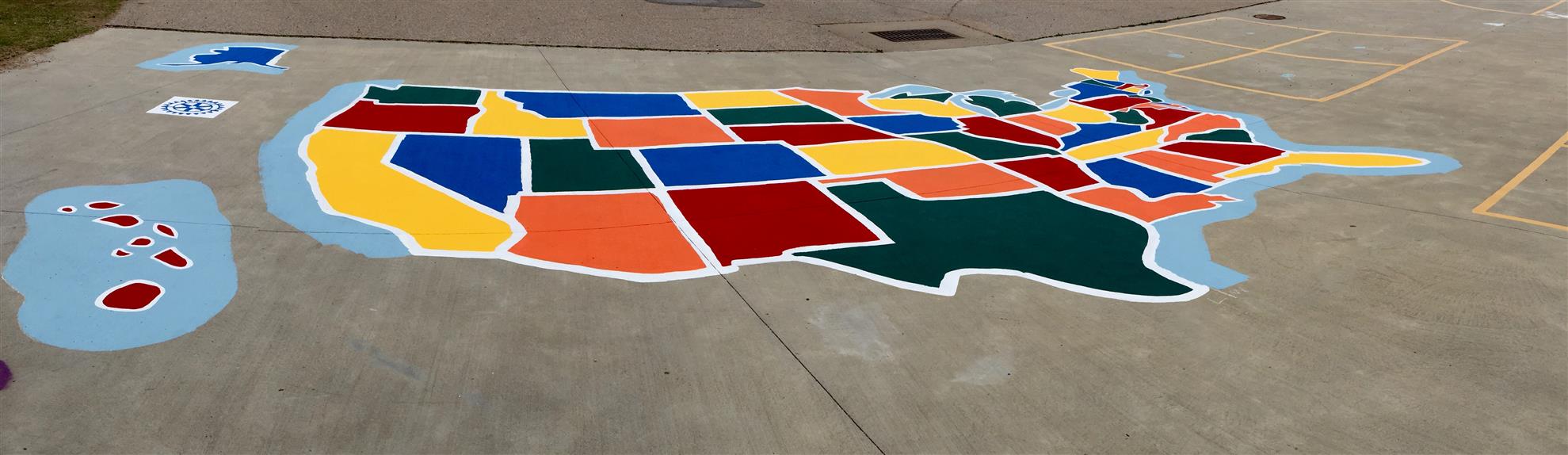
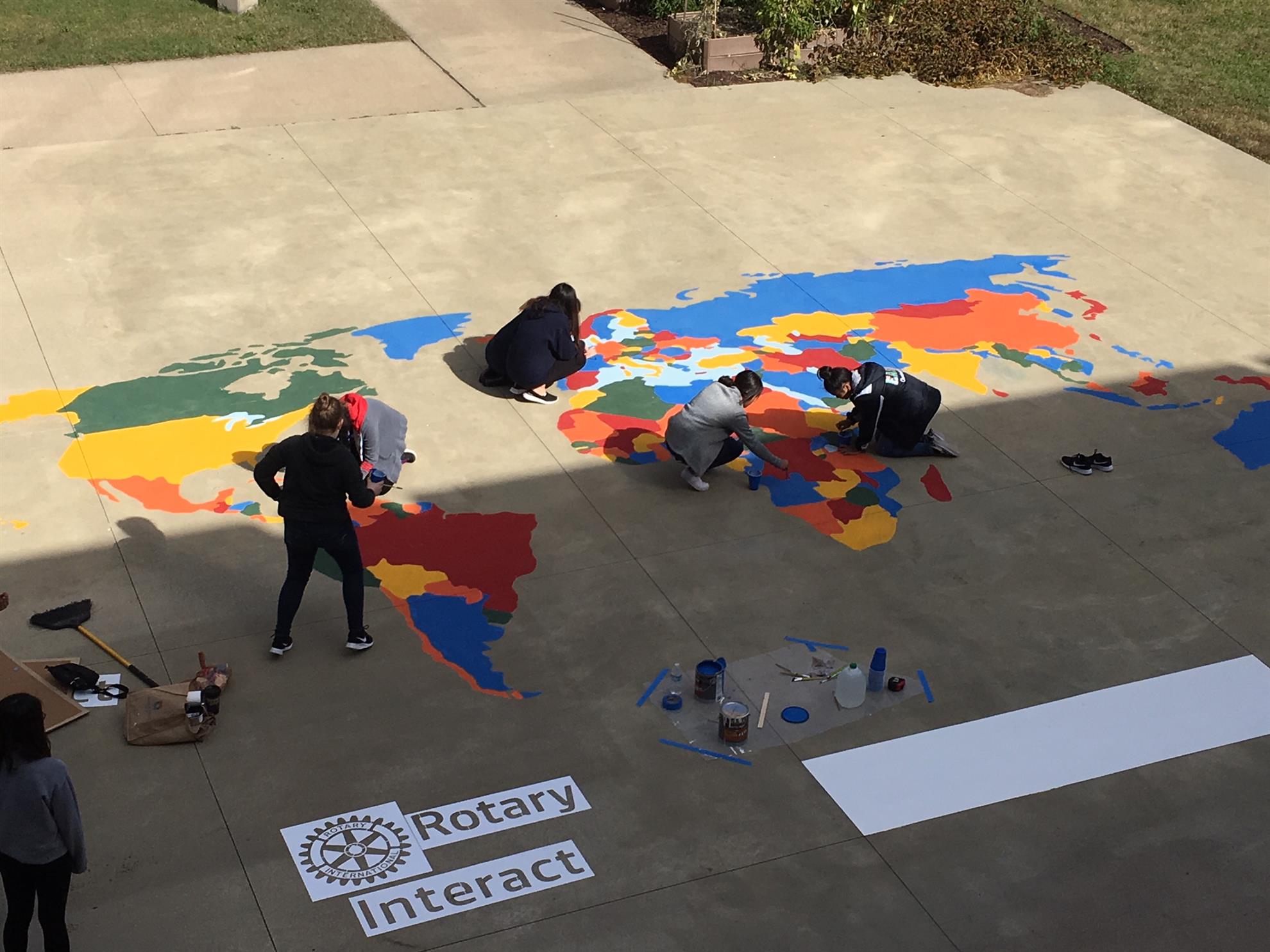
Playground Maps
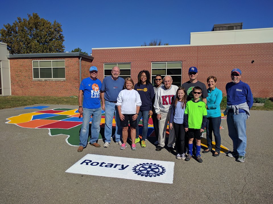
Can you picture going to Hawaii and back in a few minutes? Or how about to Europe and back? Students at the schools with playground maps can do just that. The Rotary Club of West Wichita coordinates the project for District 5680.
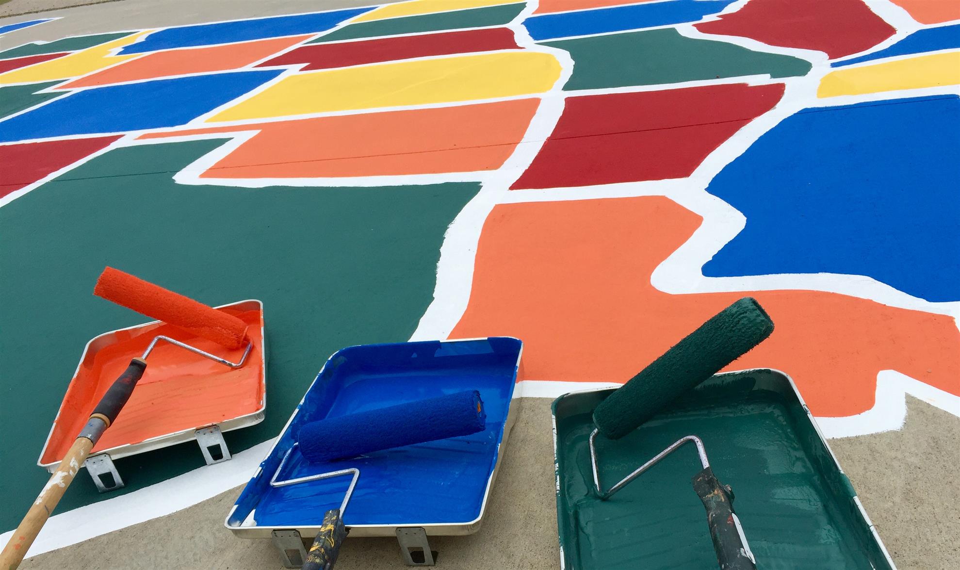
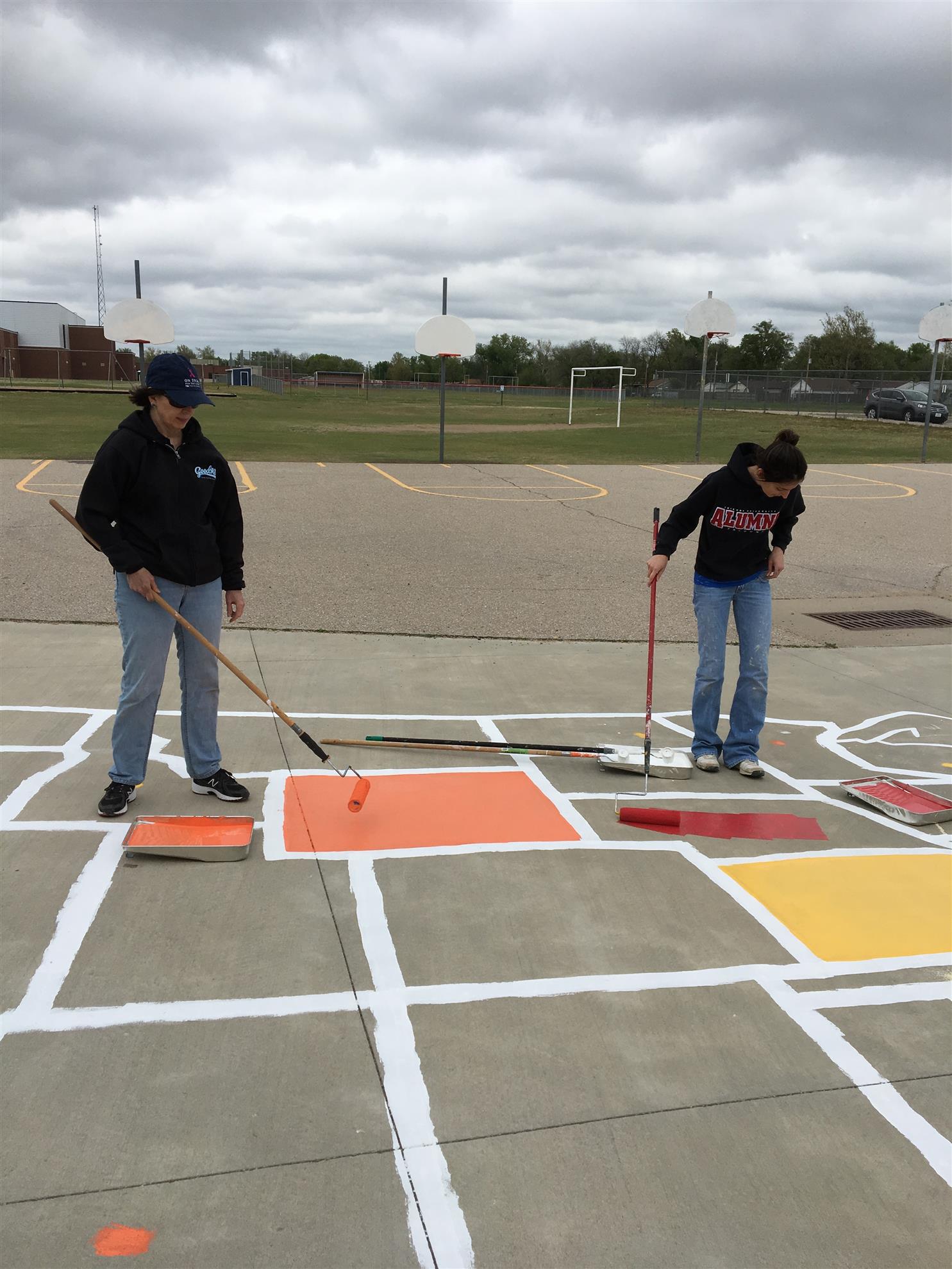
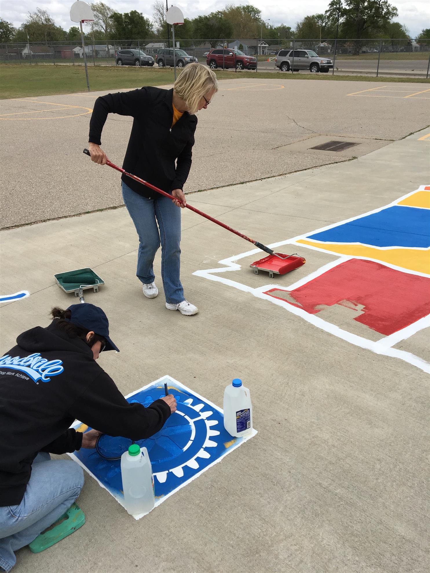
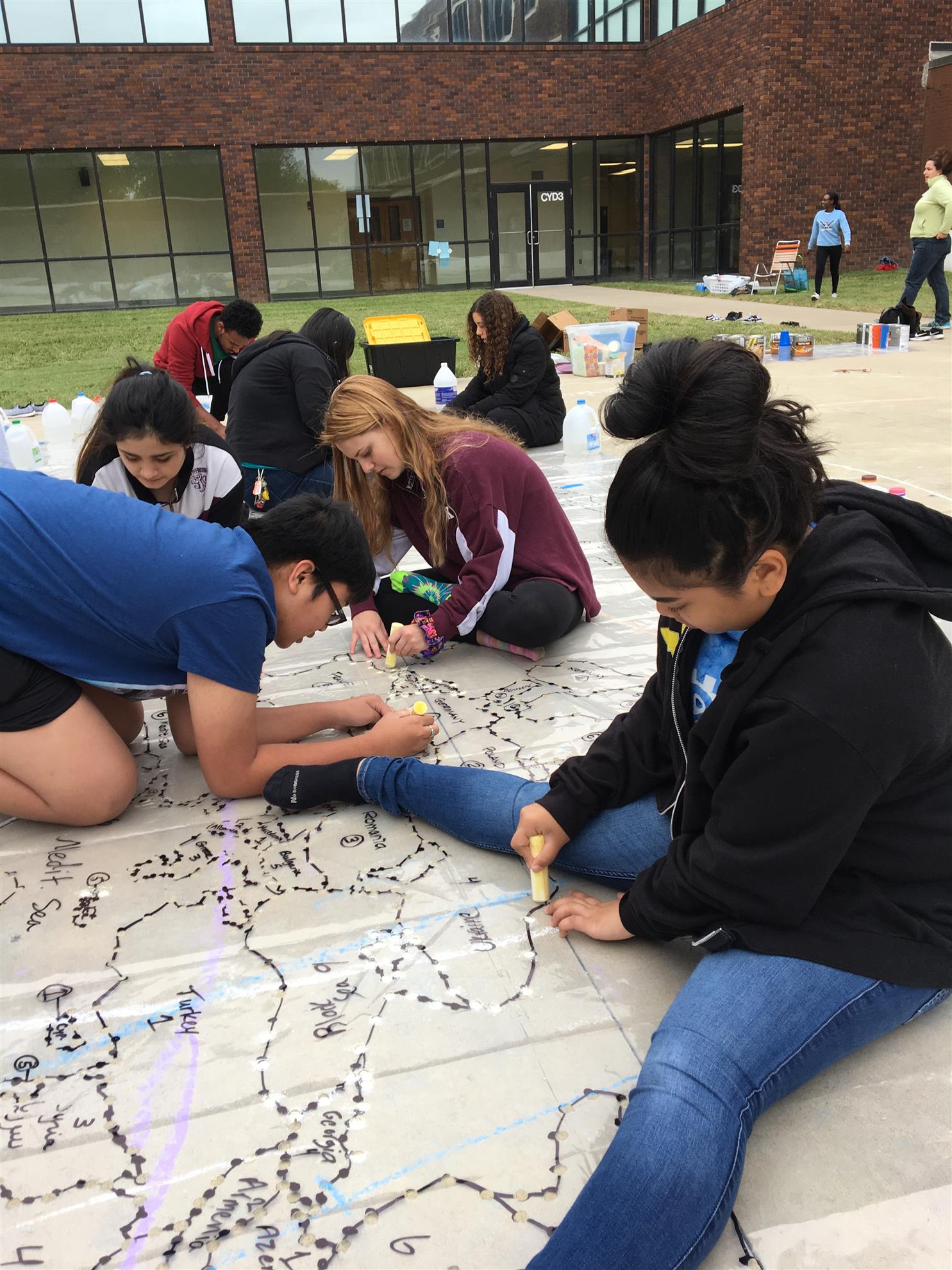
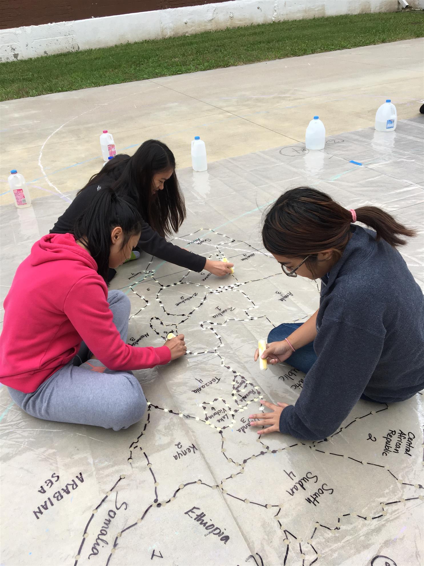
These colorful playground maps are approximately 20’ x 40’ and provide a unique teaching aid that is fun for students. The map can be used to teach math, social studies, science and history as well as geography. For example, using sidewalk chalk students can create a scale of miles for the map, label the state capitals, major rivers, the number of electoral votes per state, the date the state entered the union, trace the Lewis and Clark expedition, etc. The teacher files on this page have outlines and information on each state that can be printed as well as suggestions for games to play.
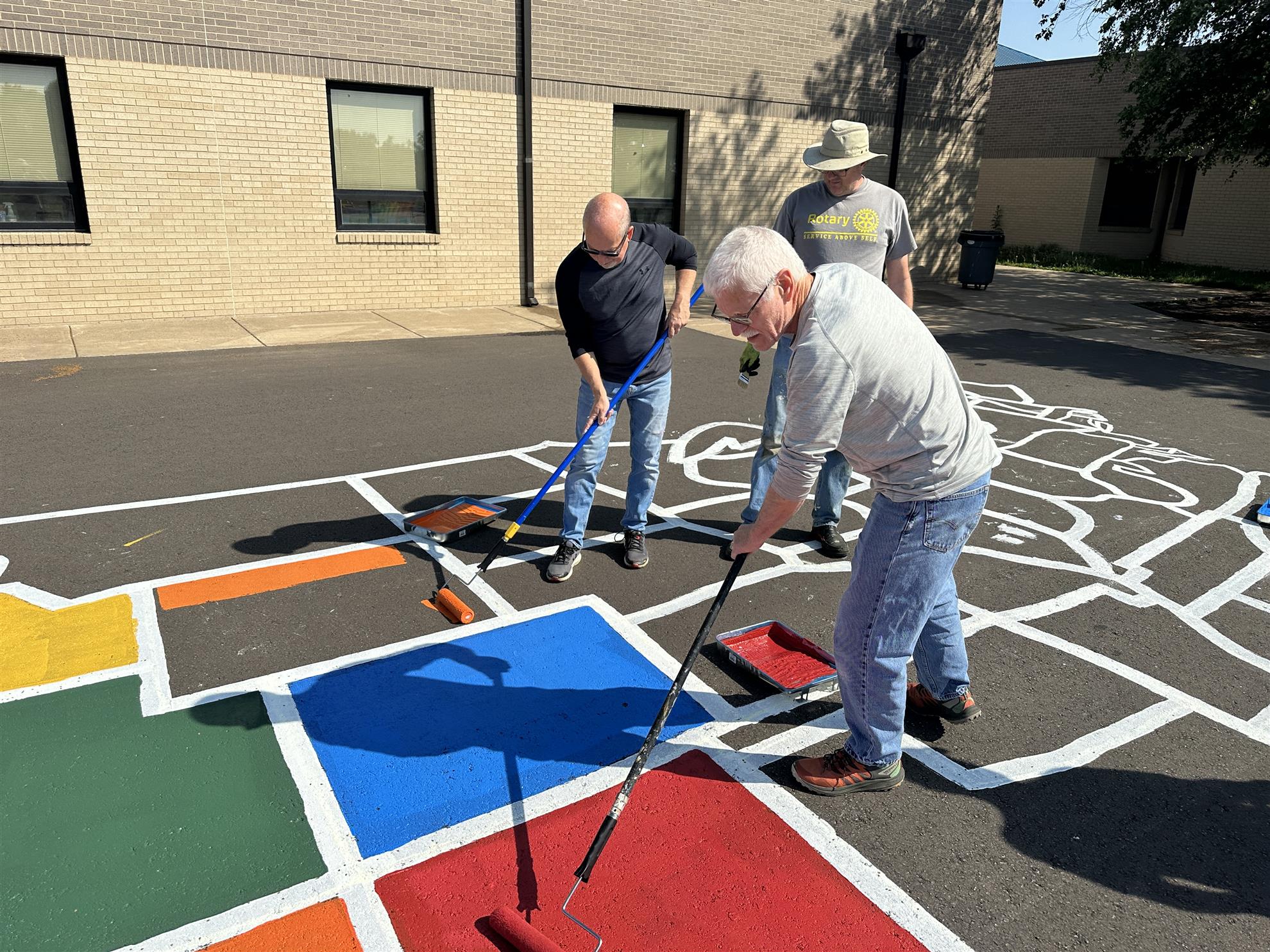
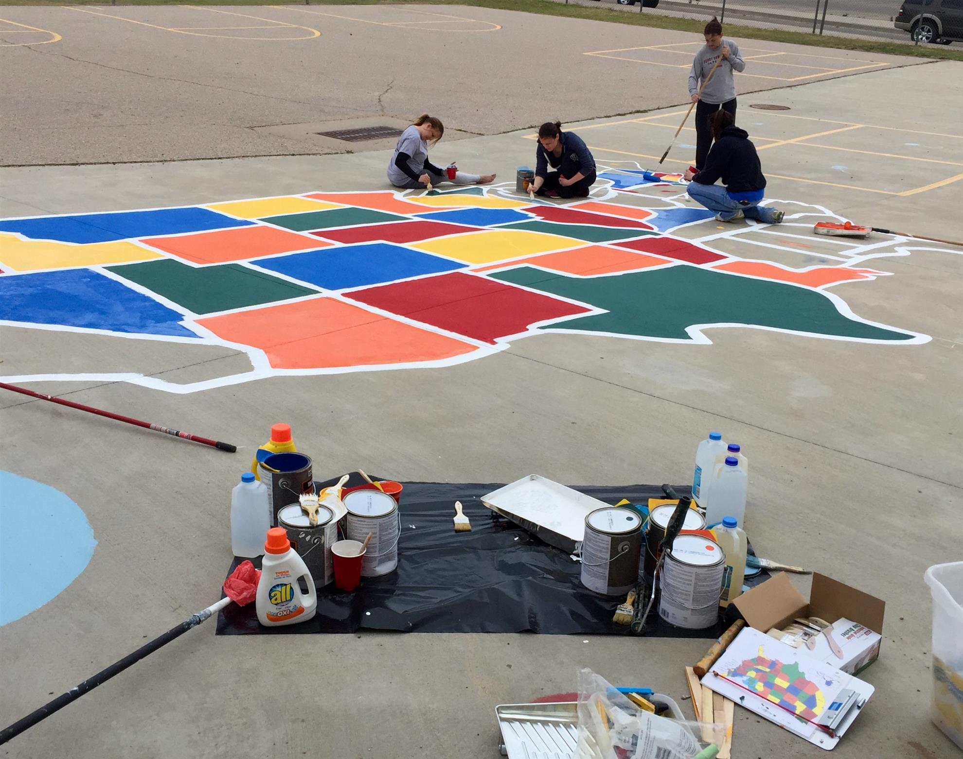
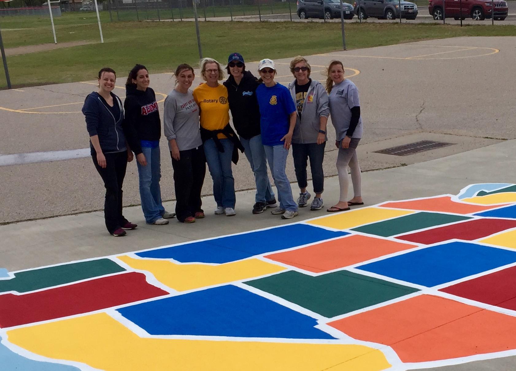
The Rotary Club of West Wichita provides a kit that includes all paint, equipment, materials, stencil and supplies. Your club manages the project. That includes coordination with the school for dates, location of the map and logistics at the school as well as soliciting the volunteers for the labor the day of the project. The Project Files on this page will help you plan and implement this project. Current cost for the supplies and to borrow the kit is $250.